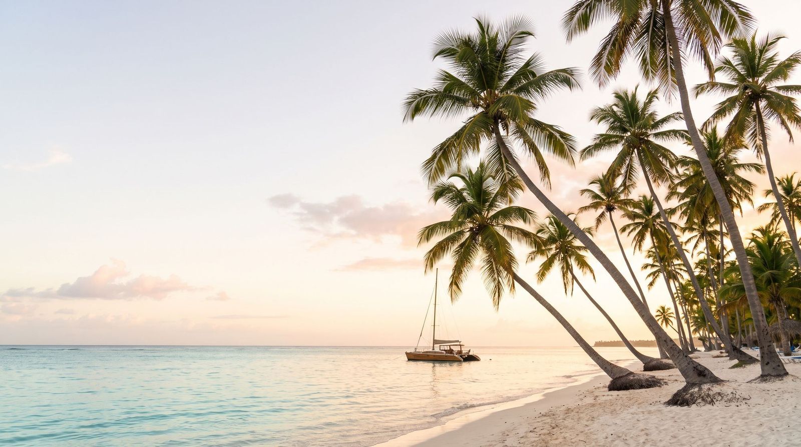
Where Punta Cana is on the map, and which zone your resort is in
Punta Cana is on the eastern tip of the Dominican Republic, in La Altagracia province, where the island of Hispaniola meets the Atlantic and the Caribbean. It is about 2.5 hours by road from Santo Domingo, the capital, and under an hour from La Romana. The name covers more than 50 km of beaches, from Cap Cana in the south to Uvero Alto in the north, with Punta Cana International Airport (PUJ) in the middle.
Punta Cana on the map of the Dominican Republic
The Dominican Republic shares the island of Hispaniola with Haiti, which takes the western third. Punta Cana sits at the far eastern end of the Dominican side, in the municipality of Higüey. Higüey, the provincial town, is about 45 km inland. To the east there is only the Mona Passage and, beyond it, Puerto Rico.
Because it faces east, the coast gets the trade winds and a long run of white-sand beach. That is why the country’s biggest resort area grew here and not near the capital.
How far Punta Cana is from everything else
| From Punta Cana to | Distance by road | Drive, no traffic |
|---|---|---|
| Santo Domingo (capital) | about 183–208 km | about 2.5 hours |
| Las Américas Airport (SDQ) | about 160 km | about 2 hours |
| La Romana | about 75 km | under 1 hour |
| Bayahibe (Saona boats) | about 69 km | about 1 to 1.5 hours |
| Higüey | about 45 km | under 1 hour |
Drive times from the Dominican Ministry of Tourism; kilometers from route calculators, which differ by route. The Coral Highway (Autopista del Coral, 70 km) links Punta Cana with La Romana. Traffic and roadworks add time.
The zones, from south to north
| Zone | Where it is | From PUJ airport |
|---|---|---|
| Cap Cana | Gated development south of the airport, with Juanillo Beach and the marina | about 15 minutes |
| Punta Cana proper | The coast directly east of the airport, around Puntacana Resort | about 15 minutes |
| Bávaro, El Cortecito, Arena Gorda | About 15 km of coast north of the airport; the busiest zone | about 30 minutes |
| Macao and Uvero Alto | The northern end, quieter and with more surf | about 45 minutes |
Drive times published by the Dominican Ministry of Tourism, without traffic.
Bávaro
The longest run of hotels and the only zone with real shops, pharmacies, supermarkets and restaurants outside the resort gates. If you want to walk out and buy something, stay here.
Cap Cana
Closest to the terminal and the most self-contained. Its marina, its golf and Juanillo Beach are inside the development, and distances inside it are long enough to need a shuttle.
Uvero Alto
The north end. Excellent beach, nothing nearby, and every excursion picks you up first, so a 7:30 departure can mean a pickup around six.
Macao
A public beach between Bávaro and Uvero Alto, known for waves and year-round surf lessons.
Saona does not leave from Punta Cana
The boats to Isla Saona leave from Bayahibe, about an hour to an hour and a half down the coast. So the day is a road transfer, the pier, the boat, the island, a sandbar stop, and all of it again in reverse. Pickup is before dawn and drop-off after dark. If Saona and the southeast coast are the reason for the trip, compare Punta Cana with La Romana, which is much closer to the pier.
How the other days tend to go
A resort day
On day one, find out what the rate covers: which restaurants need a reservation, which have a surcharge, and what motorized water sports cost.
Bávaro on foot
Possible from Bávaro hotels, with the cheapest food and souvenirs on the coast. From another zone, agree the taxi fare before you get in.
An inland day
Buggies, zip lines and caves. Check age, weight and medical limits for your group, and the rain policy.
A boat day that is not Saona
Catamarans from the local beaches and the natural pool off Bávaro. Much shorter days than Saona.
Arrival day
Punta Cana Airport is open-air and handles about 20,000 passengers a day across Terminals A and B. The immigration line is the part you cannot predict. Have the exact property name and its zone ready: several brands run more than one hotel here, each with its own entrance.
Do not book a fixed excursion on arrival day. Start with the Punta Cana Airport guide, and see the live price to your zone on the airport transfer page.
Traveler questions
Where is Punta Cana on the map?
What province is Punta Cana in?
How far is Punta Cana from Santo Domingo?
Is Bávaro the same as Punta Cana?
Which zone is closest to the airport?
Where do the Saona boats leave from?
Sources
- Dominican Republic Ministry of Tourism, Punta Canagodominicanrepublic.com · checked 2026-09-30
- Dominican Republic Ministry of Tourism, airports and drive timesgodominicanrepublic.com · checked 2026-09-30
- Dominican Republic Ministry of Tourism, Bayahibegodominicanrepublic.com · checked 2026-09-30
- Dominican Republic Ministry of Tourism, Macao Beachgodominicanrepublic.com · checked 2026-09-30
- Punta Cana International Airportpuntacanainternationalairport.com · checked 2026-09-30
- Wikipedia, Punta Cana (location and share of flights)en.wikipedia.org · checked 2026-09-30
- Rome2rio, Punta Cana to Santo Domingo road distancerome2rio.com · checked 2026-09-30


